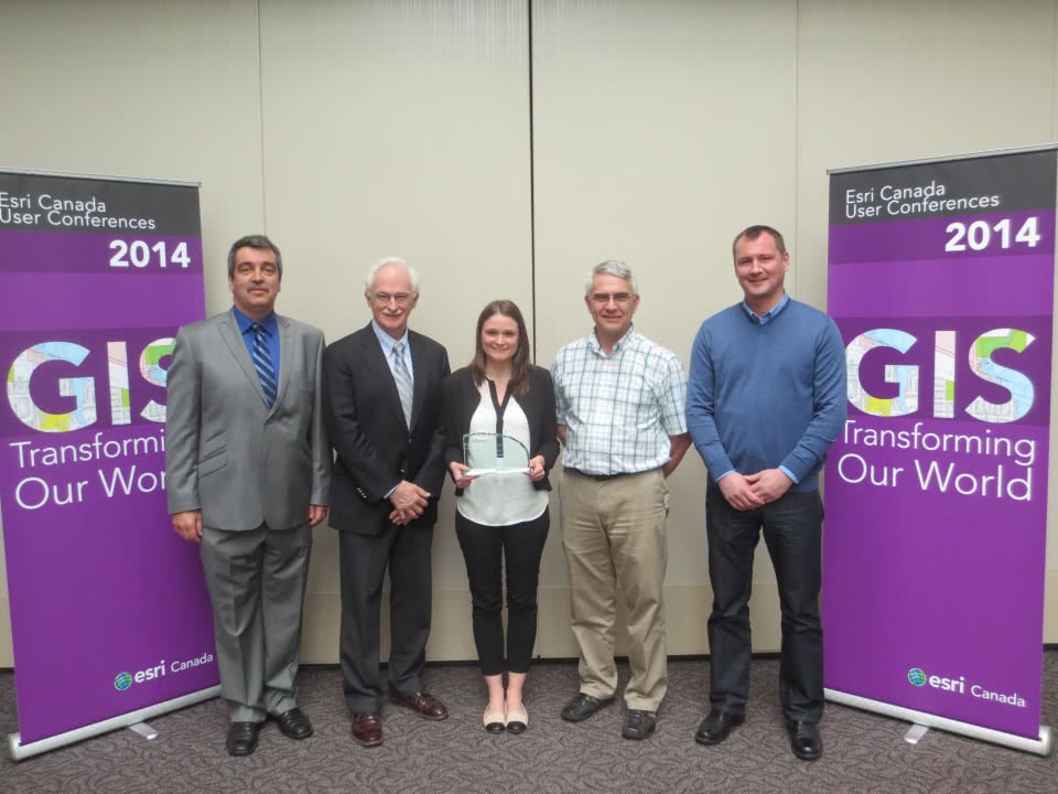
On April 8th, WCMRC was presented with an Award of Excellence by Esri Canada for implementing a GIS strategy to improve operational efficiency with our new Geographic Response Planning Tool (GRPT). The GRPT is dramatically improving our ability to manage assets and disseminate information in the field in a timely manner.
Our vast response area requires us to not only coordinate vessels, equipment and personnel, but also to ensure that we can visualize where available assets are at all times. We recognized that valuable field time was lost converting information from existing documents onto maps and the advantage of having our area plans pre-populated into Esri’s mapping technology. The creation of a shared and accessible repository to house all response information including assets, coastal resources, sensitive area locations and spill response information is a major benefit to the organization.
The GIS-enhanced GRPT has become an important part of the strategic planning process aimed to protect wildlife, economic and environmental sensitivities, as well as the safety of responders and the public alike. With immediate visibility of data, WCMRC can now quickly identify areas that may require a protection strategy based on topography, surrounding infrastructure and known threats and hazards. The specific area plans contain related information on unique operating issues, notification protocols, mobilization procedures, logistical resources and operations and planning materials.
“WCMRC has been tasked to safeguard one of our most prized natural resources and it’s vitally important for them to be prepared for any incident that can potentially impact the environment,” noted Alex Miller, President, Esri Canada. “Utilizing GIS technology to power the GRPT puts dynamic map data into the hands of responders and allows them to make quick, informed action plans to mitigate the impact of emergency incidents. We applaud the WCMRC for their efforts to protect our beautiful coast line.”
On hand to accept the award was Jocelyn Gardner, Response Readiness Coordinator, and Randy Neufeldt, Vancouver Island Area Manager. Jocelyn has been instrumental in developing and implementing the GRPT along with Strategic Natural Resource Consultants.
Currently, the tool is used for response planning and contractor training exercises to identify the right equipment and resources to be dispatched. Moving forward, development of a robust live situation map will integrate trajectory spill modeling while field data collection will feed directly into the application.

