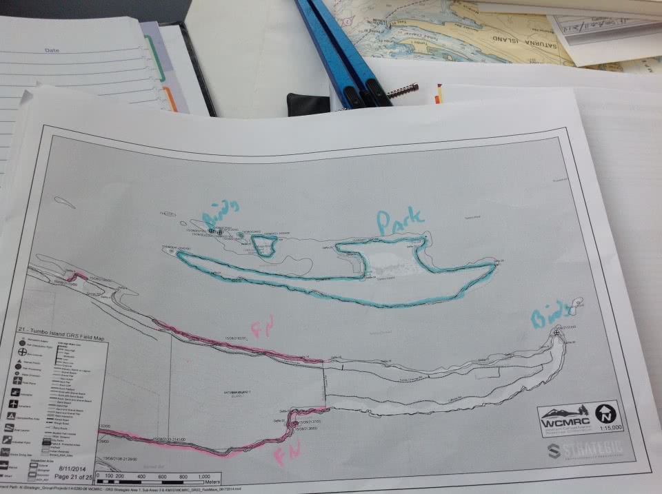
Last month, WCMRC field tested our Geographic Response Strategies (GRS) for the waters of Haro Strait. Booming strategies for Sidney Island, Mayne Island, Morsby Island, Saltspring Island and Pender Island were tested. The field work involved multiple spill response vessels deploying boom in the water along the shoreline to test pre-developed strategies. The field team included biologists who assisted in developing and documenting protection strategies for identified sensitivities.
GRS’s are developed to protect sensitive shoreline features. A GRS is an immediate plan for the initial response in an emergency situation. The goal of a GRS is to protect sensitive natural and cultural features and reduce decision-making time in the event of an actual spill. They are designed to provide all the necessary information required to carry out an efficient and rapid response.
The completed GRS’s are uploaded to WCMRC’s digital Geographic Mapping Program. We plan to update our strategies for the entire West Coast, which is in-line with the federal government’s move to a risk-based spill response planning model. The government recently announced area response planning partnerships for the southern portion of British Columbia; Saint John and the Bay of Fundy, New Brunswick; Port Hawkesbury, Nova Scotia; Gulf of St. Lawrence, Quebec. Oil spill prevention, preparedness and response in these four areas will take into consideration the area’s geography, environmental sensitivities, and oil tanker traffic volumes.